Featured News - Current News - Archived News - News Categories
The Western New York Land Conservancy and its design team will display early concept designs for The Riverline during a livestreamed YouTube event at 7 p.m. Wednesday, Feb. 24. During the event, Western New Yorkers will see design alternatives for The Riverline and hear from Barbara Wilks of W Architecture and Landscape Architecture and Walter Hood of Hood Design Studio.
Register and get a YouTube link to attend the event at https://www.wnylc.org/event-details/design-the-riverline-1.
The Land Conservancy and the design team are virtually exhibiting these early designs to get public feedback. This will assist in developing preferred concept designs, which will be shared with the public this spring. The Land Conservancy recently requested photographs from the community, encouraging people to show what they would like to see at The Riverline. The Land Conservancy received more than 400 photos from across the region, which helped the design team with early designs the public will now be able to view.
This concept and schematic design phase of work follows a community visioning process, an international design ideas competition, and an equitable development framework.
The Riverline is part of the Land Conservancy’s efforts to transform the former DL&W rail corridor running from Canalside to the Buffalo River into an iconic, innovative and inspiring nature trail and greenway.
“Getting the public's input on the initial concepts is a significant step in our design work,” Wils said. Lead design firm W Architecture and Landscape Architecture is based in Brooklyn. “Not only will it give the community an opportunity to see different possible versions of The Riverline’s future, it will also give the community a chance to shape that vision moving forward. Community feedback is critical during this phase, and we welcome it.”
Hood, MacArthur Genius grant recipient and principal of Hood Design Studio, agreed. He said, “As designers, we rely on input from participating communities to shed light on what they value and want the future of the space to become. Weaving this input into our work results in a design that will be idiosyncratic and particular to Buffalo.”
It’s that sense of the idiosyncratic and particular that Land Conservancy Executive Director Nancy Smith is seeking to find in these designs.
“Buffalo is a unique city with a rich history,” she said. “The Riverline will reflect that shared past – especially that of the three communities it will pass through – and will point us to a shared future. Since the beginning of this project, our vision for The Riverline has been to develop a nature trail and greenway in the heart of downtown that fits Buffalo’s identity in the same way that other projects in the High Line Network build on their home city identities. This is a great opportunity for Buffalo to tell us exactly how we can reflect Buffalo's unique story in designing and implementing The Riverline.”
The DL&W corridor is owned by the Niagara Frontier Transportation Authority. It runs from downtown Buffalo at the DL&W terminal to the Buffalo River across from Riverbend, and travels through the Old First Ward, Perry and Valley neighborhoods. The Riverline is designed to enhance walking, bicycling and winter activities like snowshoeing and sledding. It will connect to parks and paddleboat launches along the Buffalo River, and it will connect to trails that go to Canalside and the Outer Harbor, as well as the Larkin District and beyond. By transforming the unused railroad corridor into The Riverline, the project will provide a model for how to connect people to nature right in the heart of the city.
The design for The Riverline is being developed in collaboration with neighborhood groups, project partners, and ongoing community feedback. Once completed, The Riverline is intended to be a vibrant, safe and welcoming space for people of all ages, abilities and backgrounds to connect with each other, with nature, and with the waterfront. The Riverline is said to be “an inspiring community gathering place alive with the history and voice of the surrounding Old First Ward, Perry and Valley neighborhoods.”
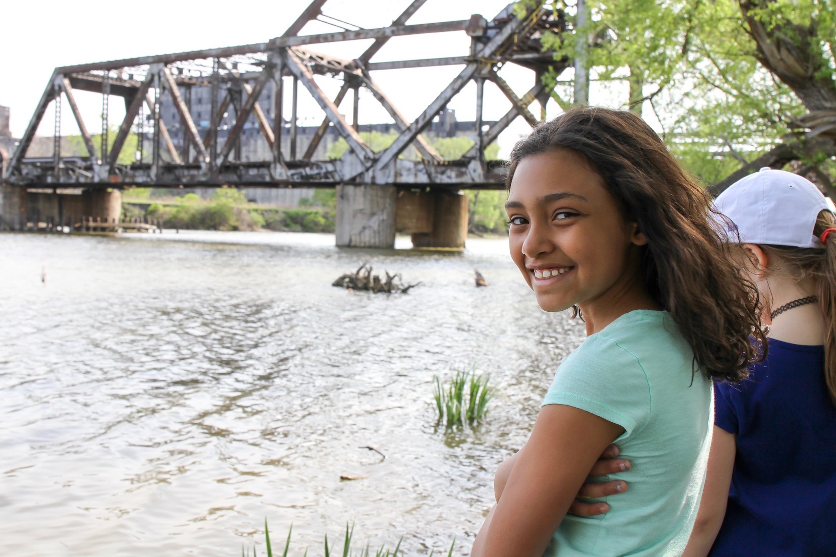
(Images courtesy of the Western New York Land Conservancy)
••••••••
Funding for this phase of work comes in part through an Environmental Protection Fund grant (EPF No. 180842) administered by the New York State Office of Parks, Recreation and Historic Preservation. Additional funding is provided by BlueCross BlueShield of Western New York Blue Fund; The First Niagara Foundation in partnership with KeyBank; Moog Inc.; an Erie Canalway IMPACT grant awarded by the Erie Canalway Heritage Fund funded in part through the support of the Erie Canalway National Heritage Corridor; Nancy and Tom Smith; Peggy and Jay Elliott; Kathy Lasher and Scott Bieler; and other individual community donors. The Land Conservancy continues to seek additional funding for The Riverline.
Those interested in learning more about this project, or donating to create The Riverline, can visit the new website for The Riverline: theriverline.com. They can also reach out to the Land Conservancy at 716-687-1225 or [email protected].
The Western New York Land Conservancy is a regional, not-for-profit land trust that permanently protects land with significant conservation value in Western New York for current and future generations. The Land Conservancy envisions a future in which open spaces, working lands, wildlife habitat and scenic beauty are cherished and protected as part of the landscape and character of Western New York. The Land Conservancy is accredited by the Land Trust Accreditation Commission and is one of 1,000-plus land trusts nationwide, including 87 in New York. Land trusts have protected over 56 million acres of land. To learn more about the Land Conservancy, visit wnylc.org.


