
+70
°
F
+74°
+58°
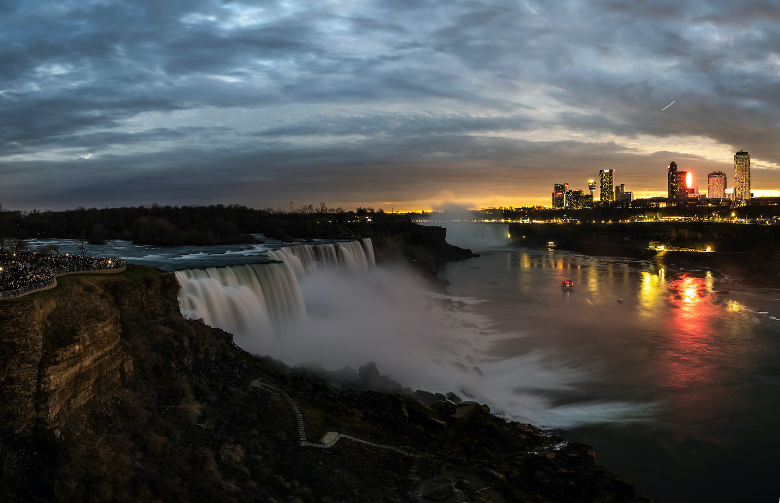
Niagara Falls
Thursday, 16
See 7-Day Forecast
Featured News - Current News - Archived News - News Categories
New biking, walking, interactive trails part of plan
By Terry Duffy
Editor-in-Chief
River Region residents learned more on plans for a Lower Niagara River Shoreline Trail, at presentations held Oct. 8 in Lewiston and Youngstown by representatives of New York State Office of Parks, Recreation and Historic Preservation, and the Niagara River Greenway Commission.
Discussed over past months at a series of public forums in Lewiston and Youngstown, the shoreline trail plan seeks to capitalize on the growing cyclist network that could one day see a number of biking, walking and interactive trails become realty in the western northern county from Lewiston, out to the lakeshore and beyond, presenters said.
“We’re filling in that gap in that trail, heading up to Old Fort Niagara,” said Mark Mistretta, western division director of State Parks at the Artpark presentation. He explained the trail is intended to serve as a northwest link in a statewide trail system to connect downstate New York City to Buffalo-Niagara and in turn up to the Montreal region of Canada.
Greg Stevens, executive director of the Niagara River Greenway Commission, said state and local officials have been involved in this phase of the River Region trail study over the past several months. He said that, following earlier new York State Department of Transportation trail designs along the southern part of the Niagara Scenic Parkway above the hill that since became reality, presentations and community input discussions have taken place in Porter, Lewiston and Wilson. State officials “synchronized that information” toward a plan for a trail intended to accommodate both Lewiston and Youngstown.
Stevens said part of that input involved discussions with Lewiston village officials for a redesigned bike trail on the Center Street strip in the village.
“Potentially that could be part of a bike system,” Stevens said. “We have heard from businesses on Center Street and they would like to create something very special there.”
He said it was not the intention of Greenway or State Parks to recreate biking options on the village’s Center Street that is under jurisdiction and control of state DOT.
“Essentially, what we are doing is high-level conceptual design of a regional trail network,” Stevens said of the Lower Niagara River Shoreline Trail. “This is a high-level conceptual design; this is the synthesis from what we heard from the community in almost a year, for what the future could look like.”
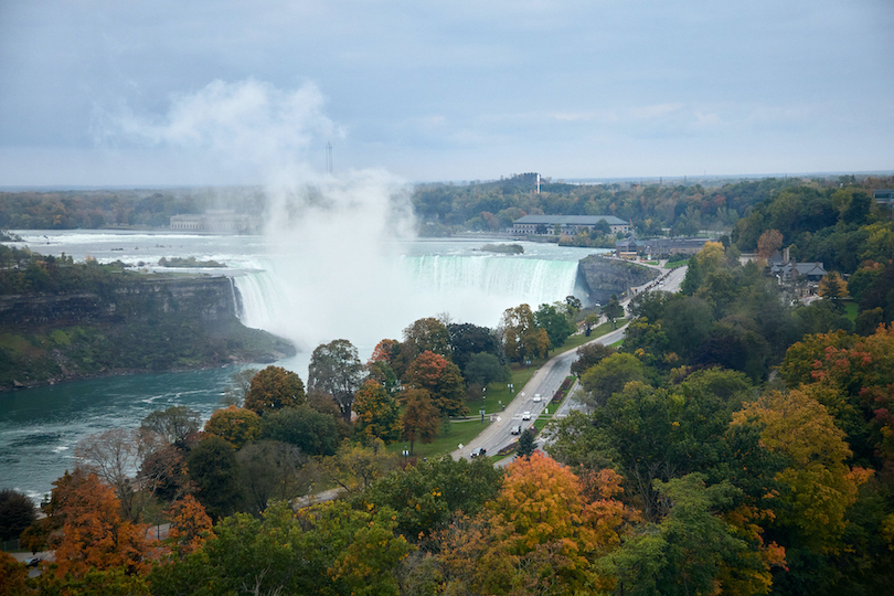
Stevens said the priority of state planners is, “to connect all communities to their waterfront resource.” Part of this involves a linear trail linking the Outer Harbor in Buffalo, through the city and up to the Tonawandas, across Grand Island to Niagara Falls, the Lewiston area and beyond out to the lake.
“It’s gotten a lot of fuel,” Steven said of the $200 million in state funding the Empire State Trail intends to connect ultimately from Manhattan upstate to Montreal. Once complete, he said this trail system would be “one of the few international cycling trails through North America.”
The Lower River Region Trail plan, one that saw earlier DOT involvement above the hill, now brings that trail from Niagara Falls right into Lewiston at the edge of Artpark.
“This is a historic moment, when we have all sorts of new connectivity to Lewiston,” Stevens said. He told attendees at the Artpark forum of the potential for this project conceivably bringing upward of 8.5 million cycling visitors into the River Region.
“So, what does Lewiston, what does Youngstown want to do with it? How do we maximize this opportunity?” he asked. “We want to accommodate that.”
Greenway Consultant Kimberly Baptiste of Bergmann Associates discussed the various proposals under consideration as part of the Lower Niagara Shoreline Trail Connectivity Study. She said its purpose was to identify “the best alternatives for multimodal access” from Lewiston out to Four Mile State Park on Lake Ontario.
Baptiste said planners are focused on providing, “enhanced programming opportunities … not just strictly a trail” for the estimated 11.5-mile waterfront paths envisioned to connect Artpark to Four Mile State Park. She spoke of “consistent themes” in the plan. These include preserving natural resources; providing options for trail users; access from Lower River Road; and providing connections to the areas between the state parks for four-season use. Included would be the primary shoreline trail along the river; gateway trail links such as at Artpark and Four Mile; major and minor trails throughout neighborhoods; interpretative connector trails; community art opportunities and other amenities in the planned areas.
Under consideration as part of the connectivity study:
•The Artpark Trail – linking several proposal trails in the Artpark draft master plan to the regional shoreline system heading north.
•The Village Trail – connecting roughly two miles of trails in areas within the villages of Lewiston and Youngstown to the shoreline trail system.
•The Niagara Parkway Trail – utilizing an existing trail along the parkway from Mohawk Street to Pletcher Road and connecting to a new trail from the Joseph Davis State Park area on the south. This would continue up the northern stretch of the parkway up to Lockport Street and then head northwest up to Fort Niagara State Park.
•The Connector Trail – where roughly nine miles of trails would be created to create east-west connections from the shoreline areas through neighborhoods in the east of Lower River Road in the Village and Town of Lewiston to the Niagara Parkway Trail systems.
•The Eco Trail – an 8.5-mile proposed stone trail connecting northern neighborhoods in Lewiston to the Stella Niagara Preserve area, the Town of Lewiston Park on Pletcher Road, Joseph Davis Sate Park, Porter and Youngstown neighborhoods east of Lower River Road, and up into the Village of Youngstown.
•The Cultural Trail – roughly one mile in length at Fort Niagara State Park, it is intended to provide for visitor interpretation of the region’s cultural heritage within the park.
Landscape architect Ted Ledell of Bergmann Associates said additional options under consideration may include creating a loop trail within the Village of Lewiston, engaging Academy Park to the shoreline trail area; redesigning existing trails in the eastern areas of the village, connecting the neighborhoods between the towns and creating community gateway destinations such as Falkner Park, Fort Niagara, the Lake Ontario Trail area and Four Mile.
“Our focus is on conservation, also to utilize a corridor connection” with these sub trails, he said.
Throughout the presentation, officials stressed the shoreline trail system planning remains in its “conceptual stage.” No funding yet has been secured and an overall project timeline remains staggered as discussions continue.
“It remains a work in progress,” Stevens said.
Officials said they continue to welcome community input as work continues. For more information on the proposed trail system, or to offer input, visit www.lowerniagaratrailstudy.com.


1859 Whitehaven Road, Grand Island, NY 14072
Phone: 716-773-7676
Fax: 716-773-7190
