+70
°
F
+74°
+58°
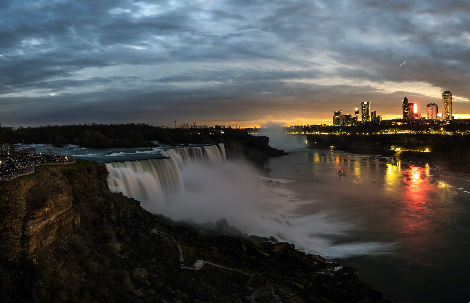
Niagara Falls
Thursday, 16
See 7-Day Forecast
Featured News - Current News - Archived News - News Categories
The New York State Office of Parks, Recreation and Historic Preservation has announced the availability of the final version of the Niagara Gorge Corridor Project public scoping report, including the northern portion of the Robert Moses Parkway between downtown Niagara Falls and the Village of Lewiston. Meanwhile, final design for the southern portion of the Robert Moses Parkway is expected to begin shortly.
The scoping report for the northern section, which considers broad alternatives for creating a sensitively configured transportation network along the gorge, was advanced through a memorandum of understanding between State Parks, the state Department of Transportation, the USA Niagara Development Corp., and the City of Niagara Falls. Funding for the public scoping process came from a combination of sources, including federal transportation funds, funds from MOU partner agencies, and a grant from the New York Power Authority, which owns a portion of the lands on which the RMP sits.
The final report includes public comments on the draft public scoping report issued in February. Copies are available at the following locations: Niagara Falls City Hall; the Earl W. Brydges Public Library, Niagara Falls; Village Hall (Red Brick), Village of Lewiston; Town Hall, Town of Lewiston; the Porter/Youngstown Library in Youngstown; and the Niagara Region Parks Administrative Office at Prospect Point in Niagara Falls State Park. The report will also be available online at http://nysparks.com/inside-our-agency/public-documents.aspx.
During the scoping process, which is required under federal regulations as a pre-requisite for projects on segments of the National Highway System like the RMP, broad consensus was reached in defining a "Phase I" segment of the corridor between Main Street and Findlay Drive in the City of Niagara Falls. In this segment, which will be advanced to preliminary/final design, roughly two miles of the RMP would be removed and an immediately adjoining segment of Whirlpool Street would be fully reconstructed to provide all north-south access. Once removed, the former RMP right-of-way would be re-vegetated with native species and equipped with a new multipurpose trail network.
For the remainder of the corridor ("Phase II"), the process refined the list of possible alternatives to three feasible alignments involving either: creating a continuous park-scaled road using a portion the RMP right-of-way from Findlay Drive to Center Street in Lewiston; an alignment involving removals of the RMP in selective locations by merging the road into and from adjoining segments of Lewiston Road (Route 104); or a full removal of all current RMP features in the corridor and use of Route 104 for all north-south access. Each of these alternatives will be further refined and evaluated in a federal environmental impact statement.
The MOU partner agencies are currently coordinating to identify sources of funding to advance the Phase I segment to preliminary design (which is expected to require 18 months to complete), as well as to undertake the Phase II segment's EIS process.
Additionally, efforts are also progressing to reconfigure a segment of the southern portion of the parkway from John Daly Boulevard into Niagara Falls State Park, with plans to open waterfront access and evoke Olmsted's "Riverway."
Final design is expected to commence soon, and the project is expected to go out to bid next summer, with construction starting in late 2014.
Gov. Andrew Cuomo authorized $11.5 million in additional funding as part of the tourism components of his "Buffalo Billion" economic development strategy for Western New York, bringing the total to $16.5 million in funds available to carry this project through final design and construction.


1859 Whitehaven Road, Grand Island, NY 14072
Phone: 716-773-7676
Fax: 716-773-7190
