Featured News - Current News - Archived News - News Categories
by Susan Mikula Campbell
Residents of River Road attending a community focus meeting held by Wheatfield's Local Waterfront Revitalization Program Committee on Feb. 10 seemed to agree with the group's plans for the town's riverfront.
One thing not on the plans that they'd like to see, however, is the extension of the LaSalle Expressway all the way to North Tonawanda as originally intended, not an abrupt stop at Williams Road as currently exists.
Traffic from the expressway funneling onto River Road to continue to North Tonawanda and people coming from North Tonawanda in the other direction creates a hazard for residents trying to get out of their driveways. There are also several different speed limits, which results in speeding, residents pointed out.
Unfortunately, plans to continue the expressway were abandoned by the state years ago, Robert O'Toole, town attorney and LWRP member said.
Residents still wanted extension of the expressway, making River Road a secondary road, included as a long-term goal in the LWRP plan to be eventually presented to the state.
"Complete jobs that have been started, but never finished," one resident urged, which brought up the added thought, "Whatever happened to the Land of Oz?"
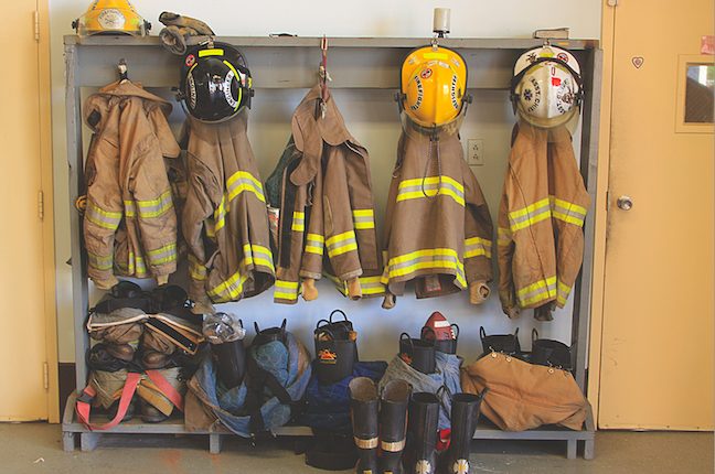
Wendy Salvati, senior planner for Wendel Duchscherer Architects and Engineers, displayed at the meeting drawings of what the LWRP group currently thinks the waterfront area should look like. About 30 community members, town board members and committee members attended the discussion at Frontier Volunteer Fire Department's firehall.
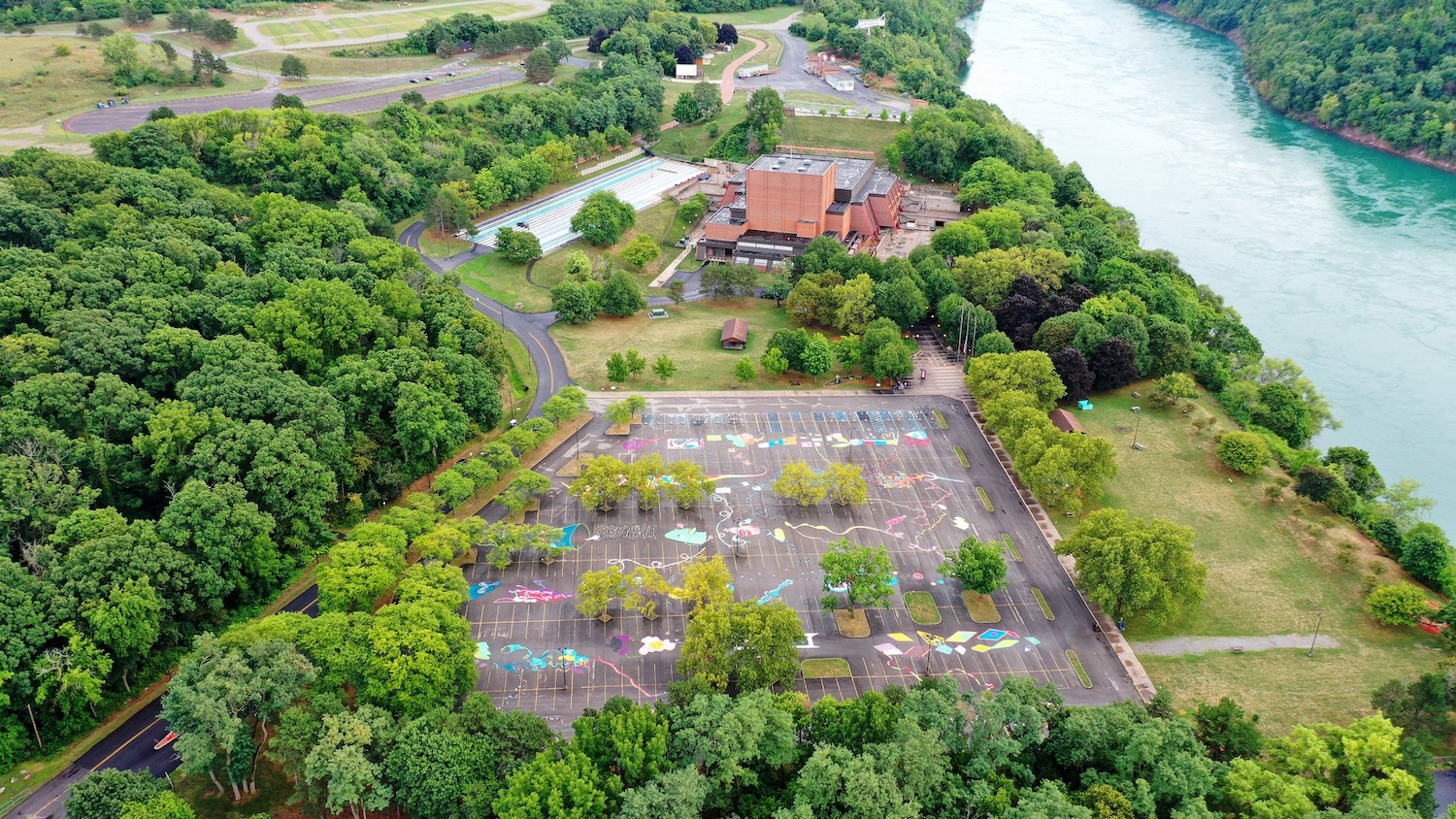
In August of 2009, the town began preparation of an LWRP, an extension of the New York State Coastal Management Program, to help manage land use activities along the town's prominent waterways, and to help the town to secure grants for potential public projects along the waterfront.
The LWRP boundary includes the lands along River Road between Niagara Falls and North Tonawanda, as well as a small portion of land off Lockport Road that borders the Erie Canal.
Among the proposals Salvati suggested was a multi-use trail on the north side of River Road along the abandoned railroad corridor that would link up to the Niagara Falls and North Tonawanda trail systems. Currently, River Road is not safe to ride bikes on, she said. Residents indicated that lowering the speed limit to 30 mph would fix that.
At the Niagara Falls end of River Road, Salvati suggested adding vacant land and wetland to property the town currently owns and plans as a park. She also suggested that, in the long-term, the existing trailer park could be changed to mixed-use waterfront development that would include green space along the water that could be opened to public use.
In the residential areas along the waterfront, she suggested only single-family homes be allowed. O'Toole added that over time the goal would be to have larger lots. Years ago, the small lots were sized for summer cottages.
On the North Tonawanda end of the road, only existing commercial use would be permitted, with the rest zoned residential.
After the meeting, O'Toole said the group will continue working on the draft plan, which will ensure local control over waterfront development as opposed to state or federal control. Once the plan is finished, a public hearing will be held and the plan will go to the Town Board for approval.
"We're still a number of months away from doing that," he said.
The LWRP document and maps are being posted on the town's website:www.wheatfield.ny.us and http://wheatfieldwaterfrontassociation.org.


